Santo Tomás
If you are looking for the page with the statistics about this polity you can find it here:All Statistics
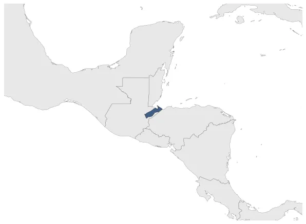
Was a Belgian Lease territory in Guatemala.
Establishment
May 1843: In 1842, a ship sent by King Leopold I of Belgium arrived in Guatemala. Tthe Belgians observed the natural riches of the department of Izabal and decided to settle in Santo Tomas de Castilla and build infrastructure in the region. Rafael Carrera gave them the region in exchange for sixteen thousand pesos every year from the government of Guatemala. On 4 May 1843, the Guatemalan parliament issued a decree giving the district of Santo Tomás "in perpetuity" to the Compagnie belge de colonisation, a private Belgian company under the protection of King Leopold I of Belgium. The concession did not become a colony in the political sense. Article 4 of the May 1842 Acte de concession clearly stated that the cession of the territory to the Belgian company did not involve, implicitly or explicitly, a cession of sovereignty over the territory.
Chronology
Interactive Chronologies with maps are available in the section Changes Navigation
Disestablishment
January 1855: Belgian colonizing efforts in Guatemala ceased in 1854, due to lack of financing and high mortality due to yellow fever and malaria, endemic diseases of the tropical climate.