Sagadahoc Colony
If you are looking for the page with the statistics about this polity you can find it here:All Statistics
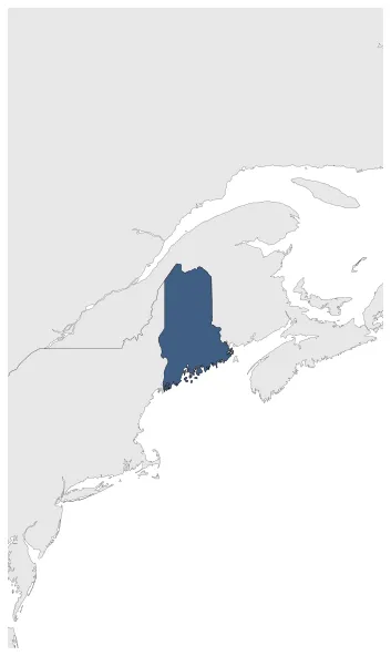
Was an English colonial territory which included the eastern part of what was later colonial Maine.
Establishment
January 1610: The Territory of Sagadahock, also called the Sagadahoc Colony and New Castle, was an English colonial territory which included the eastern part of what was later colonial Maine and was more sparsely settled than the western region. The area included was east of the Kennebec River. On some accounts, the English first settled Sagadahoc in 1608-09.
Chronology
Interactive Chronologies with maps are available in the section Changes Navigation
1. Events
August 1622: The first patent establishing the Province of Maine was granted on August 10, 1622 to Ferdinando Gorges and John Mason by the Plymouth Council for New England, which itself had been granted a royal patent by James I to the coast of North America between the 40th to the 48th parallel "from sea to sea".
Disestablishment
January 1665: A part of the grant of King Charles II in 1664 to his brother the Duke of York included the territory between the St Croix and Pemaquid and northward, variously called the "Sagadahoc Territory" and "New Castle".