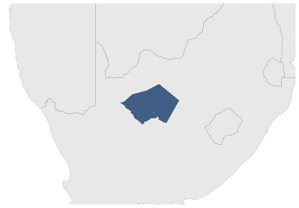
Griqualand West
If you are looking for the page with the statistics about this polity you can find it here:All Statistics
Was a Griqua state in South Africa in the second half of the XIX century.
Establishment
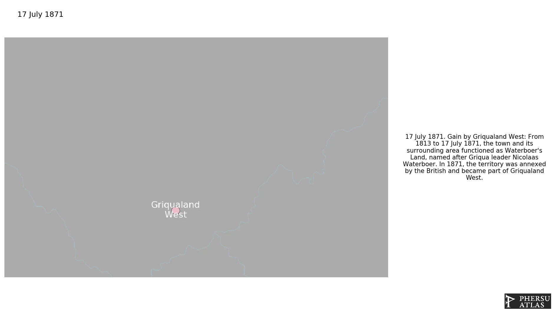
July 1871: From 1813 to 17 July 1871, the town and its surrounding area functioned as Waterboer's Land, named after Griqua leader Nicolaas Waterboer. In 1871, the territory was annexed by the British and became part of Griqualand West.
October 1871: The district of Klipdrift Republic, together with some adjacent territory to which the Transvaal had laid claim, was proclaimed, under the name of Griqualand West, British territory.
Chronology
Interactive Chronologies with maps are available in the section Changes Navigation
1. Events
January 1872: The British authorities declared their authority over the Diamond Diggers Republic.
January 1878: In 1877, the state expanded by annexing Griqualand West and Griqualand East.
October 1880: The Griqualand West Annexation Act (Act 39 of 1877), was the act, passed in the Cape Colony Parliament on 27 July 1877, authorising the union of the Cape Colony with Griqualand West. The implementation of the act was set for 18 October 1880, when Griqualand West was formally united with the Cape Colony.
Disestablishment
October 1880: The Griqualand West Annexation Act (Act 39 of 1877), was the act, passed in the Cape Colony Parliament on 27 July 1877, authorising the union of the Cape Colony with Griqualand West. The implementation of the act was set for 18 October 1880, when Griqualand West was formally united with the Cape Colony.