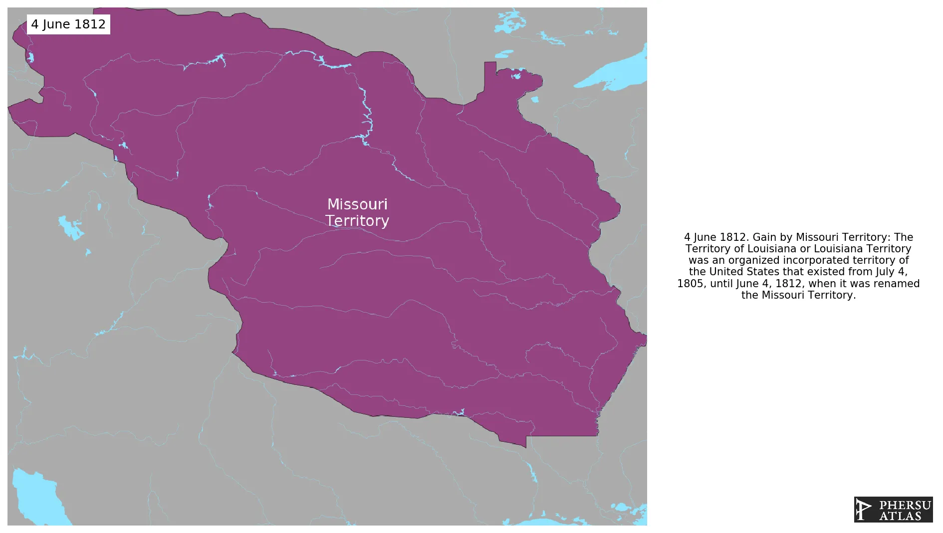
Missouri Territory
If you are looking for the page with the statistics about this polity you can find it here:All Statistics
Was an organized incorporated territory of the United States.
Establishment
June 1812: The Territory of Louisiana or Louisiana Territory was an organized incorporated territory of the United States that existed from July 4, 1805, until June 4, 1812, when it was renamed the Missouri Territory.
Chronology
Interactive Chronologies with maps are available in the section Changes Navigation
1. Events
August 1818: U.S. treaty concluded at St. Louis (Missouri Territory) with the Quapaw.
September 1818: Indian Land Cessions in the U.S., 1784 to 1894
October 1818: The Treaty of Tuscaloosa was signed in October, 1818, and ratified by congress in January 1819. It was one of a series of treaties made between the Chickasaw Indians and the United States that year. It resulted in the acquisition of the Jackson Purchase
October 1818: The Convention of 1818 established the 49th parallel north west of the Lake of the Woods as the U.S. border with British-held lands.
July 1819: The Territory of Arkansas, officially the Territory of Arkansaw, and commonly known as the Arkansas Territory or the Arkansaw Territory (A. T. or Ar. T.), was an organized incorporated territory of the United States that existed from March 2, 1819, to June 15, 1836, when the final extent of Arkansas Territory was admitted to the Union as the State of Arkansas.
January 1820: The Adams-Onís Treaty between the United States and Spain defined the boundary between the U.S. and New Spain.
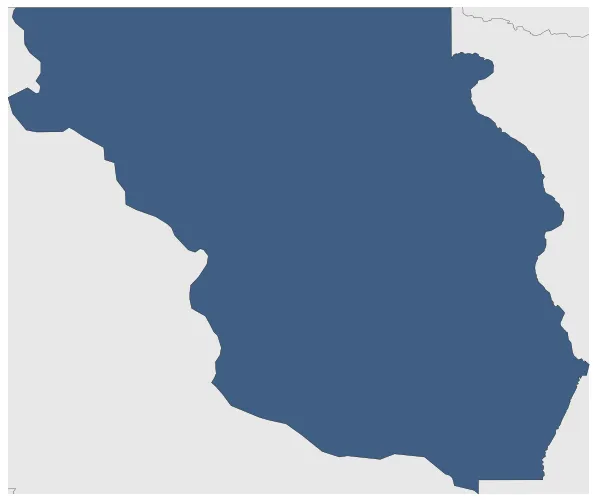
August 1821: In 1821, the southeastern corner of Missouri Territory was admitted as the twenty-fourth state, Missouri, while the rest of the territory became unorganized Territory.
August 1821: The southeastern corner of Missouri Territory was admitted as the twenty-fourth state, Missouri, in 1821. This event was significant as it marked the expansion of the United States and the establishment of Missouri as a state.
Disestablishment
August 1821: In 1821, the southeastern corner of Missouri Territory was admitted as the twenty-fourth state, Missouri, while the rest of the territory became unorganized Territory.
August 1821: The southeastern corner of Missouri Territory was admitted as the twenty-fourth state, Missouri, in 1821. This event was significant as it marked the expansion of the United States and the establishment of Missouri as a state.
Selected Sources
Royce, C. C. (1899): Indian Land Cessions in the United States, Eighteenth Annual Report of the Bureau of American Ethnology to the Secretary of the Smithsonian Institution, p. 688

.svg.png.webp)