Most recent flag or coat of arms
Maximum Extent
Maximum Extent (Interactive Map)

Data

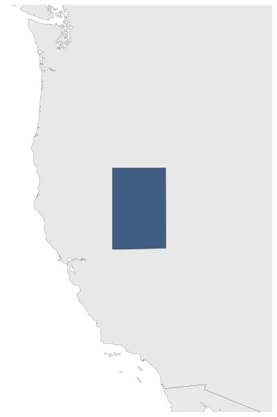
Name: Territory of Nataqua

Type: Polity

Start: 1849 AD

End: 1861 AD

Parent: usa

Statistics

All Statistics: All Statistics

Icon Territory of Nataqua

If you are looking for the page with the statistics about this polity you can find it here:All Statistics

Was an organized incorporated territory of the United States.

Establishment


  • April 1849: In 1849, the border between California and the Utah Territory was defined by geographical coordinates that were not surveyed. On April 26, 1856, local residents took advantage of this ambiguity and justified their resistance to tax collectors from Plumas County, California, by proclaiming themselves part of a new "Territory of Nataqua." .
  • Chronology


    Interactive Chronologies with maps are available in the section Changes Navigation

    Disestablishment


  • January 1862: In March 1861, Congress created the official Territory of Nevada, with the Honey Lake Valley and the area to its north included within its provisional bounds. Later that year, Lake County was formed encompassing the area of the Nataqua Territory.
  • All Phersu Atlas Regions

    Africa

    Americas

    Asia

    Europe

    Oceania