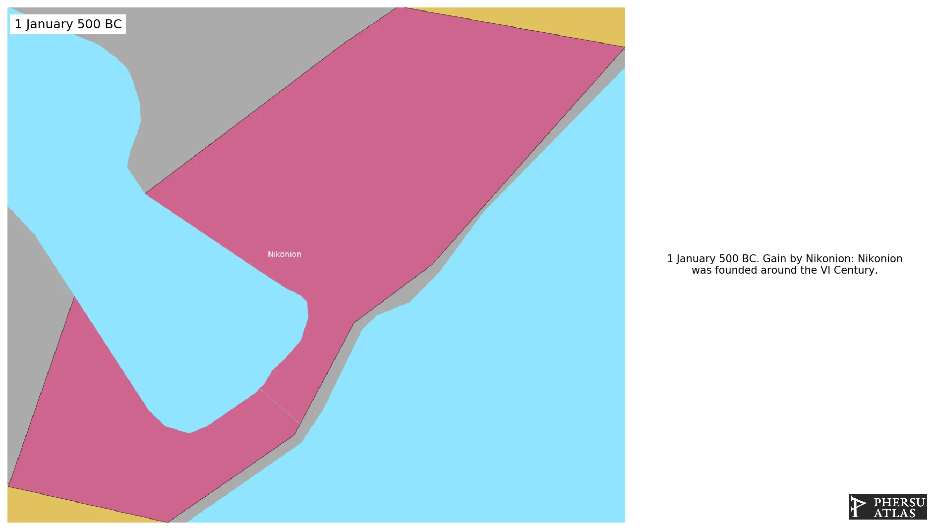
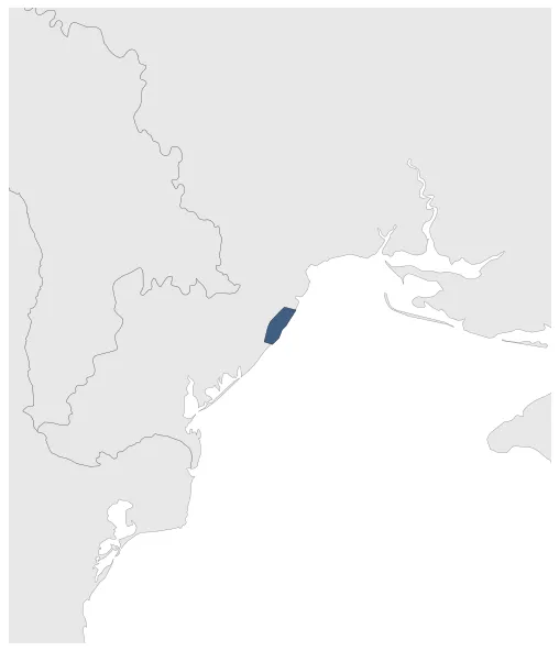
Video Summary
Video Summary
Maximum Extent
Maximum Extent (Interactive Map)

Data

Name: Nikonion

Type: Polity

Start: 500 BC

End: 250 BC

Statistics

All Statistics: All Statistics

Icon Nikonion

If you are looking for the page with the statistics about this polity you can find it here:All Statistics

A Greek polis in the West Coast of ancient Pontos.

Establishment


  • January 500 BC: Nikonion was founded around the VI Century.
  • Chronology


    Interactive Chronologies with maps are available in the section Changes Navigation

    1. Peloponnesian War


    Was an ancient Greek war fought between Athens and Sparta and their respective allies for the hegemony of the Greek world.

  • January 423 BC: Phersu Atlas Assumption: Assumed border corrections due to military occupations and reorganization (based on maps).

  • 1.1.Second Phase - Deceleian War

    Was the second phase of the Peloponnesian War, where Sparta allied with Persia against Athens, which capitulated and lost its empire.

  • January 403 BC: After a prolonged siege by Sparta, Athens surrendered. As a consequence Athens had to form an alliance with Sparta, the Long Walls of the city were demolished, its territory was reduced to just Attica and Salamis and the Delian-Attic league was dissolved.

  • Disestablishment


  • January 249 BC: Nikonion seems to have been abandoned around 250 BC.
  • Selected Sources


  • Bleckmann, B. (2016): Der Peloponnesische Krieg, Munich (Germany), p. 107-113
  • All Phersu Atlas Regions

    Africa

    Americas

    Asia

    Europe

    Oceania