
Data
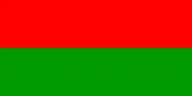
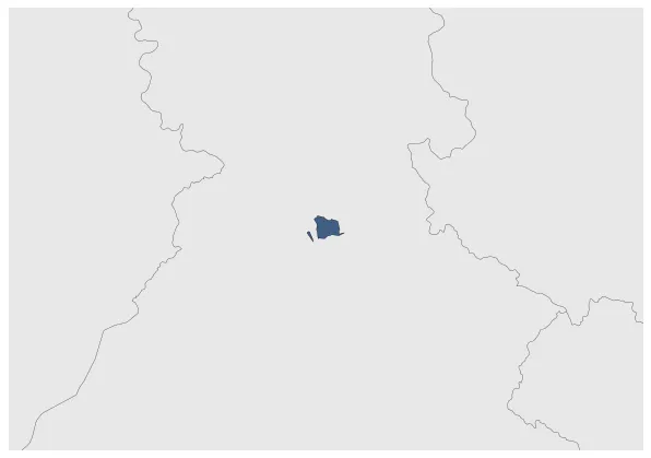
Name: Suket State
Type: Polity
Start: 1846 AD
End: 1948 AD
Nation: suket kingdom
Parent: great britain
Statistics
All Statistics: All Statistics
 Suket State
This article is about the specific polity Suket State and therefore only includes events related to its territory and not to its possessions or colonies. If you are interested in the possession, this is the link to the article about the nation which includes all possessions as well as all the different incarnations of the nation.
If you are looking for the page with the statistics about this polity you can find it here:All Statistics
Was an Indian princely state located in the modern-day Indian State of Himachal Pradesh.
Establishment
Chronology
Interactive Chronologies with maps are available in the section Changes Navigation
1. Partition of India
Was the partition of British India in two independent entities: India (with a Hindu majority) and Pakistan (with a Muslim majority). This included the several princely states that were dependent on the British Colony.


