Most recent flag or coat of arms
Video Summary
Video Summary
Maximum Extent
Maximum Extent (Interactive Map)

Data

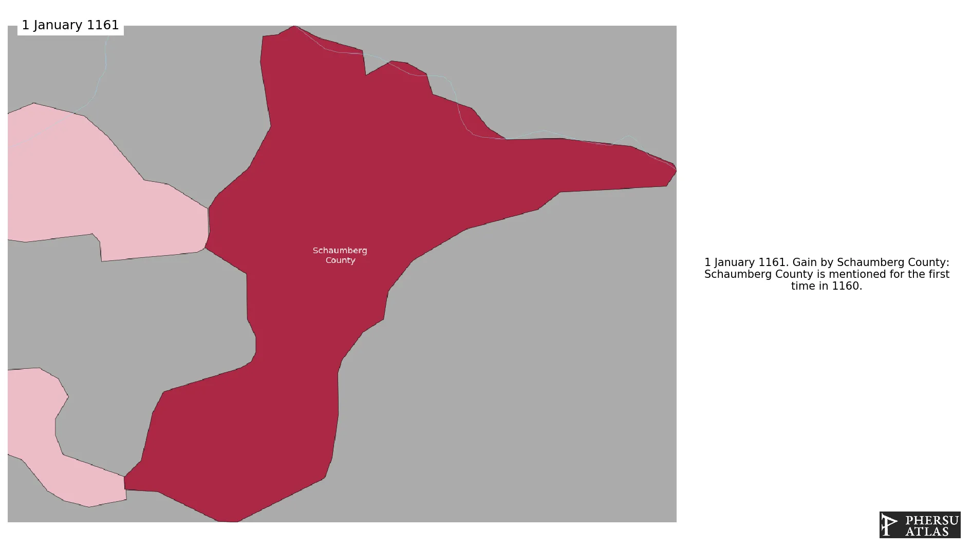
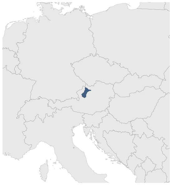
Name: Schaumberg County

Type: Polity

Start: 1161 AD

End: 1390 AD

Statistics

All Statistics: All Statistics

Icon Schaumberg County

If you are looking for the page with the statistics about this polity you can find it here:All Statistics

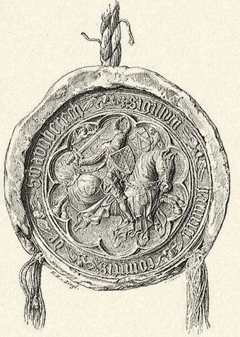
Was a county of the Holy Roman Empire.

Establishment


  • January 1161: Schaumberg County is mentioned for the first time in 1160.
  • Chronology


    Interactive Chronologies with maps are available in the section Changes Navigation

    1. Mongol invasions and conquests


    Were a series of military campaigny by the Mongols that created the largest contiguous Empire in history, the Mongol Empire, which controlled most of Eurasia.

    1.1.Mongol Invasions of Germany

    Were a series of Mongol raids in Germany.

    1.1.1.First Mongol Invasion of Germany

    Was a Mongol raid in the Holy Roman Empire.

  • May 1241: The Mongols invaded the Holy Roman Empire without major clash of arms.The army invaded eastern Germany, and crossed the March of Moravia in April-May 1241.
  • June 1241: The Mongols left eastern Germany and Moravia.

  • 2. Further events (Unrelated to Any War)


  • January 1379: Based on Gustav Droysen's Map of the Holy Roman Empire in the XIV century.

  • Disestablishment


  • January 1391: Schaumberg is made a fief of Austria.
  • Selected Sources


  • Droysen, G. (1886): Historischer Handatlas, Bielefeld and Leipzig (Germany), pp. 30-31
  • Strakosh-Grassmann, G. (1893): Der Einfall der Mongolen in Mitteleuropa in den Jahren 1241 und 1242, Innsbruck (Austria), pp. 53-67
  • All Phersu Atlas Regions

    Africa

    Americas

    Asia

    Europe

    Oceania