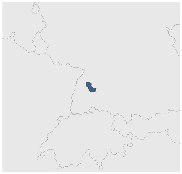
Most recent flag or coat of arms
Maximum Extent
Maximum Extent (Interactive Map)

Data

Name: Sulz County

Type: Polity

Start: 962 AD

End: 1473 AD

Statistics

All Statistics: All Statistics

Icon Sulz County

If you are looking for the page with the statistics about this polity you can find it here:All Statistics

Was a county of the Holy Roman Empire.

Establishment


  • February 962: Sulz County is mentioned for the first time in 961.
  • Chronology


    Interactive Chronologies with maps are available in the section Changes Navigation

    1. Frankish Partitions


    The Frankish Kingdom was partitioned and reuinited several times as the Frankish rulers used to divide their territories equally among their heirs. This lead also to a number of wars and revolts.

    1.1.Incoronation of Otto I

    East Frankish King Otto I was crowned first Holy Roman Emperor.


    2. Further events (Unrelated to Any War)


  • January 1379: Based on Gustav Droysen's Map of the Holy Roman Empire in the XIV century.

  • Disestablishment


  • January 1474: Between 1301 and 1473, the town of Sulz was the seat of the Geroldsecker line, which lived here, but in the 15th century, despite inheritance, experienced a steady economic decline and finally they had to sell it to Württemberg in 1473 under massive pressure.
  • Selected Sources


  • Droysen, G. (1886): Historischer Handatlas, Bielefeld and Leipzig (Germany), pp. 30-31
  • All Phersu Atlas Regions

    Africa

    Americas

    Asia

    Europe

    Oceania