Most recent flag or coat of arms of France (Military Occupation)
Most recent flag or coat of arms

Information

Name: France (Military Occupation)

Type: Polity

Start: 1338

End: 1993

polity France (Military Occupation): All Data

This page is about the data available for this polity, the chronology of the events of the polity is available here.

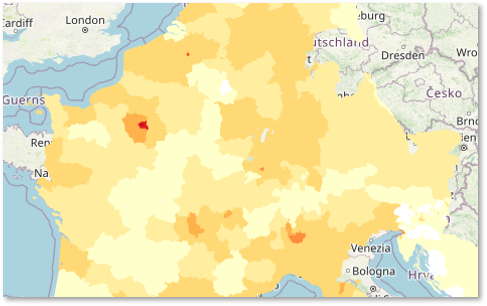
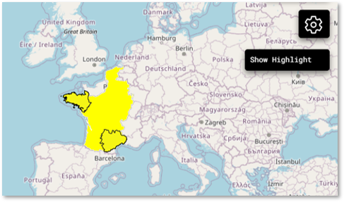
Polity that includes all territories military occupied by France that are not part of a specific military territory.

1. Maps of Political Control Over Time

2. Maximum Historical Extents during Events

3. Lists and Timelines of Rulers

4. Lists and Timelines of Events that took place in the Polity

5. Maps Comparing Territorial Boundaries Before and After Wars

map_chartCentury of humiliation

map_chartSino-French War

map_chartEuropean wars of religion

map_chartThirty Years' War

map_chartThirty Years' War Minor Scenarios

map_chartWar of Valtellina

map_chartThirty Years' War aftermath wars

map_chartFranco-Spanish War (1648-1659)

map_chartSecond Anglo-Dutch War

map_chartNine Years' War

map_chartKing William's War

map_chartGerman Unification Wars

map_chartFrench Army incursion

6. Monthly Summaries of Events

Monthly Summaries of Events during Wars

7. Time Series of Territorial Changes

Time Series of Territorial Changes by specific invasor/invaded couple

Time Series of Territorial Changes during specific Events

8. Time Series of Historical Population and Area

Historical Population and Area during specific Events

9. Events Navigation - Explore All Territorial Changes

All Territorial Changes during specific Events

10. Rulers (only those who where involved in territorial changes)

11. Cities mentioned in territorial changes

All Phersu Atlas Regions

Africa

Americas

Asia

Europe

Oceania