
Data
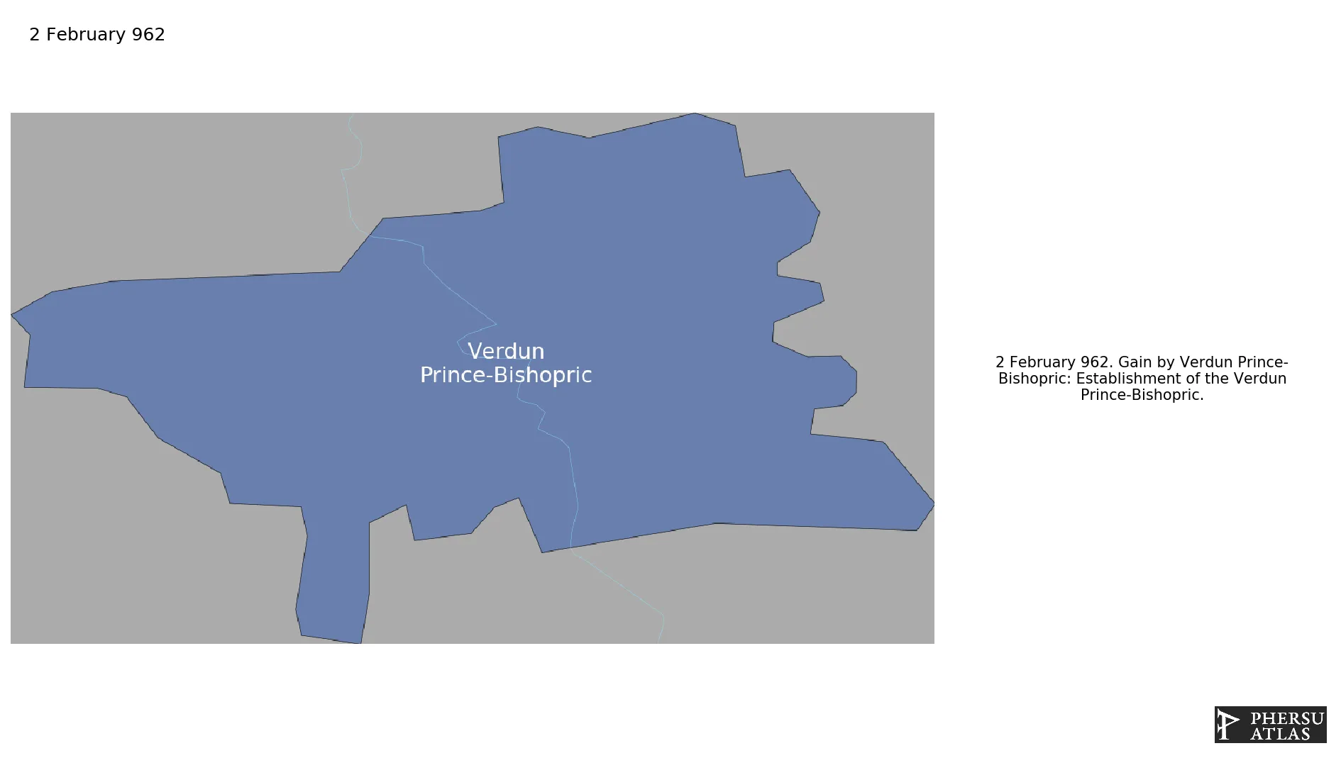
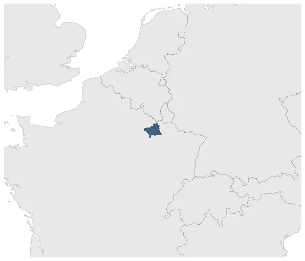
Name: Verdun Prince-Bishopric
Type: Polity
Start: 962 AD
End: 1552 AD
Statistics
All Statistics: All Statistics
 Verdun Prince-Bishopric
If you are looking for the page with the statistics about this polity you can find it here:All Statistics
Was an ecclesiastical principality of the Holy Roman Empire.
Establishment
Chronology
Interactive Chronologies with maps are available in the section Changes Navigation
1. Frankish Partitions
The Frankish Kingdom was partitioned and reuinited several times as the Frankish rulers used to divide their territories equally among their heirs. This lead also to a number of wars and revolts.
East Frankish King Otto I was crowned first Holy Roman Emperor.
2. Italian Wars
Were a series of conflicts covering the period between 1494 to 1559, fought mostly in the Italian peninsula, but later expanding into Flanders, the Rhineland and the Mediterranean Sea. The primary belligerents were the Valois kings of France, and their Habsburg opponents in the Holy Roman Empire and Spain.
Was one of the so-called Italian Wars.
2.1.1.Land Campaigns (Italian War of 1551-1559)
Were the Land campaigns of the Italian War of 1551-1559.


