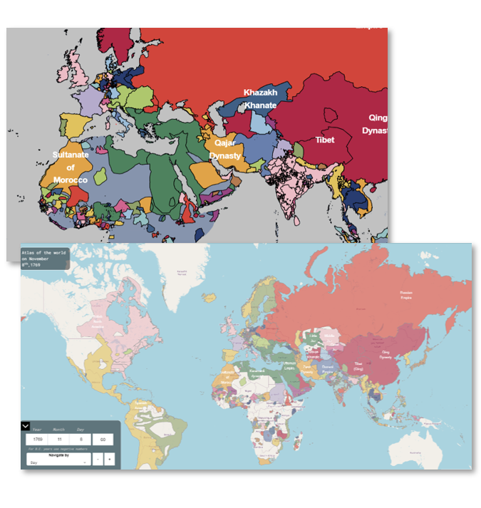
Global Atlas
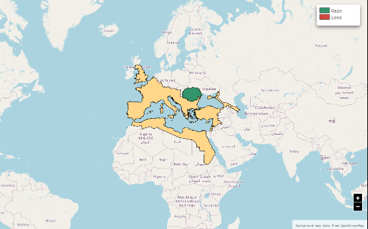
Phersu Atlas covers the entire World day by day from 3499 BC to today.


Phersu Atlas covers the entire World day by day from 3499 BC to today.
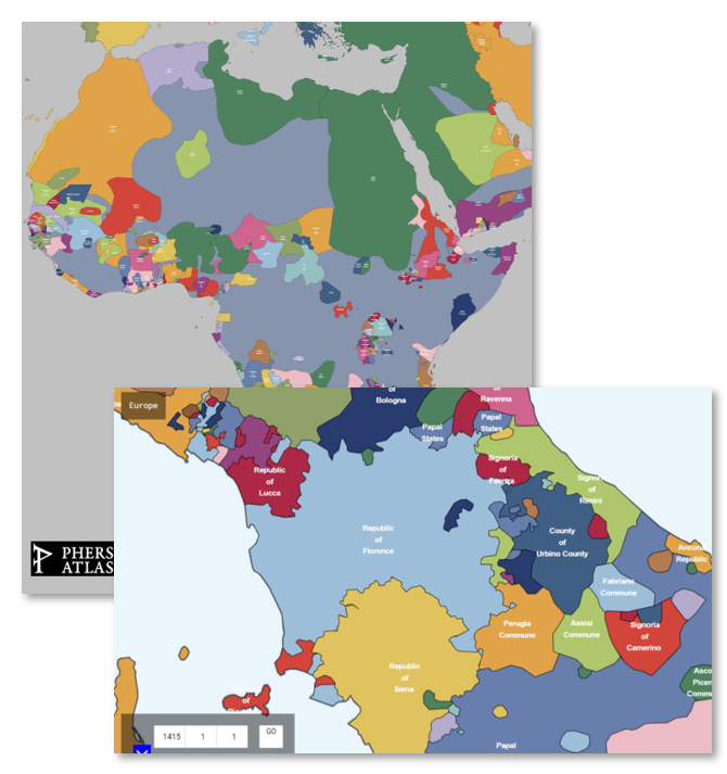
In addition to a global atlas, Phersu Atlas includes detailed regional and thematic sections like "Middle East", "Subsaharian Africa", "Europe", "German Confederations", and many more.
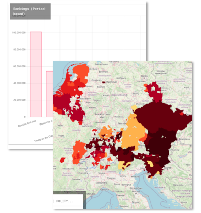
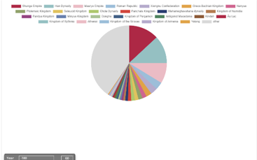
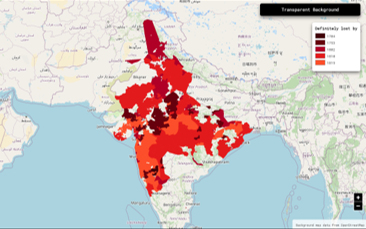
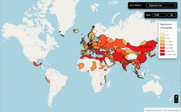
Based on the collected data, Phersu shows statistics like demographic maps, anachronous control maps, time series of areas and population, and many more for over 8,000 known polities. Click to see an example of Statistic.
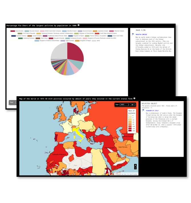
Interactive tools with time filters to explore 5,500 years of territorial, population, and geopolitical changes across nations and polities by year.
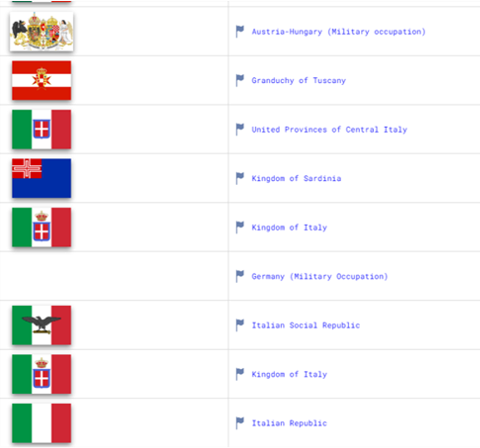
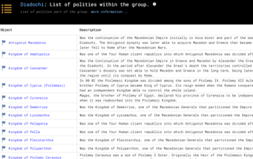
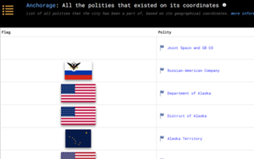
Phersu Atlas includes metrics listing the polities cities were part of, or the wars that took place in these cities, and even lists of cities per modernd-day country with their old names. Click to see an example.
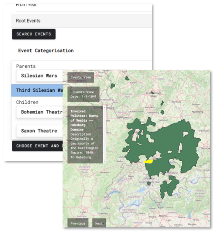
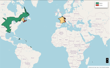
Phersu includes functions to filter territorial changes among thousands of categorized wars or by polity or by both, and to navigate among their descriptions chronologically.
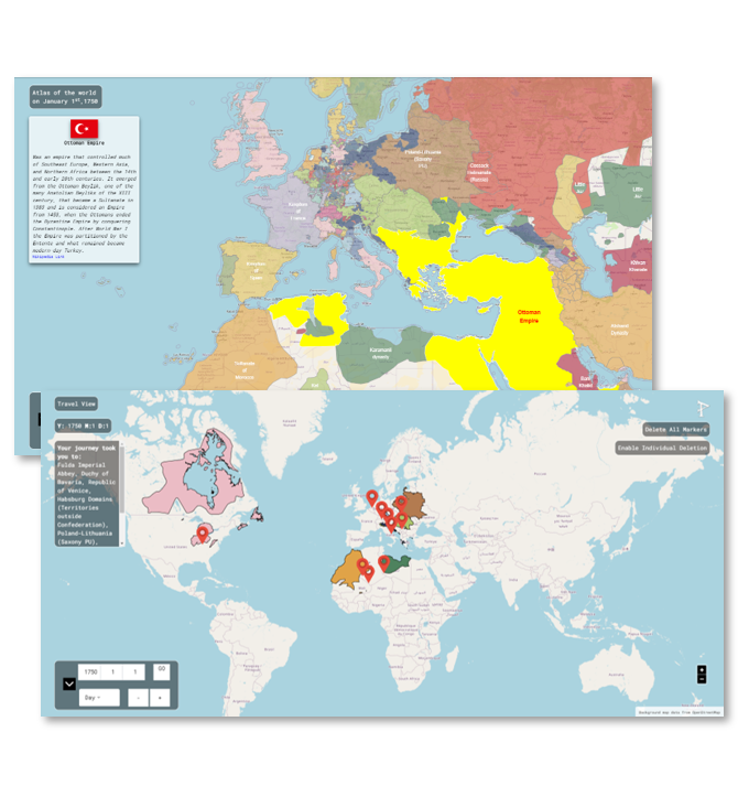
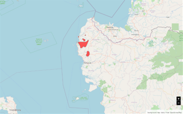
Select Points on a Map and select a Date to find out which Polities existed there.
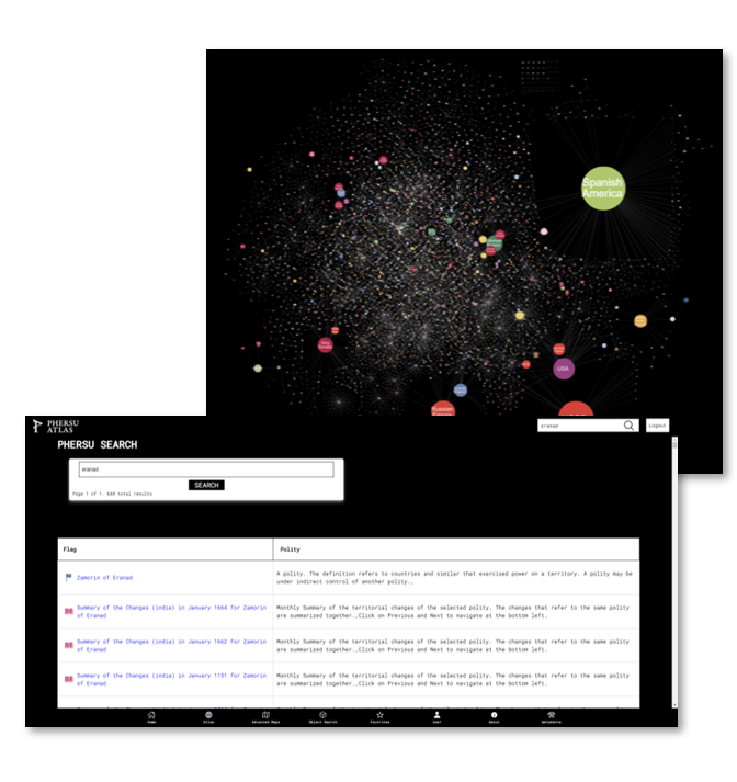
Includes advanced search functions to filter by object (Polities, Nations, Events, Cities) or by time.
